Jacksonville, Fl. — The “Buresh Bottom Line”: Always be prepared!.....First Alert Hurricane Survival Guide... City of Jacksonville Preparedness Guide... Georgia Hurricane Guide.
STAY INFORMED: Get the * FREE * First Alert Weather app
FREE NEWS UPDATES, ALERTS: Action News Jax app for Apple | For Android
WATCH “Talking & Tracking the Tropics: The Science Behind the Season”
WATCH “Preparing for the Storm”
READ the First Alert Hurricane Center “Survival Guide”
***** ALWAYS CHECK & RE-CHECK THE LATEST FORECAST & UPDATES! *****
*** There will be no impacts from tropical systems for the U.S. through this weekend & the week of Thanksgiving ***

So... Wed. afternoon marked the first time without a named storm somewhere over the Atlantic Basin since Oct. 31 - no small feat for so late in the season.
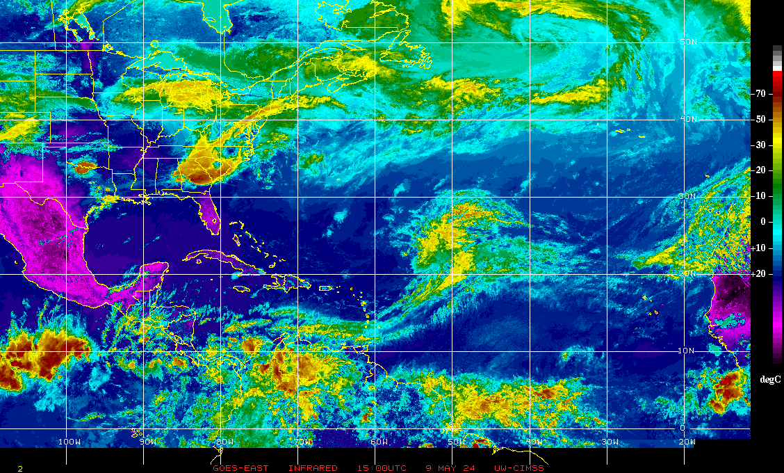
A disturbance over the Southwestern Caribbean has been interacting with Central America so little or no tropical development is expected.
An area to watch will be the SW/West Atlantic east of the Bahamas near & along a stalled front/trough of low pressure. Low pressure will slowly develop & could become tropical or subtropical. This potential system should ultimately be steered to the northeast away from the U.S.
Atlantic Basin wave forecast for 24, 48 & 72 hours respectively:


:quality(70)/cloudfront-us-east-1.images.arcpublishing.com/cmg/WW5AJL3ARQUGDQMAQUNSFX4CLE.jpg)


:quality(70)/cloudfront-us-east-1.images.arcpublishing.com/cmg/HJ3L3HBBJBH6PB5ZFB3SVGFXSU.png)
:quality(70)/cloudfront-us-east-1.images.arcpublishing.com/cmg/4TQDXERT5VGORNZ4NQWXNO5H64.png)
:quality(70)/cloudfront-us-east-1.images.arcpublishing.com/cmg/SKX4RKW645ERTATCLA4V2FVRKQ.png)
:quality(70)/cloudfront-us-east-1.images.arcpublishing.com/cmg/TYVIYUNT7BBHDLGYYWGCJB424E.png)
:quality(70)/cloudfront-us-east-1.images.arcpublishing.com/cmg/WYUHBF3SFRC7HITANNA24VG6DI.jpg)
:quality(70)/cloudfront-us-east-1.images.arcpublishing.com/cmg/V7JDMMD6JJEEHIL6C7OSLV3ABU.png)
:quality(70)/cloudfront-us-east-1.images.arcpublishing.com/cmg/UJQGS6OCGFTRUY2GS6DPAFILFY.jpg)
:quality(70)/cloudfront-us-east-1.images.arcpublishing.com/cmg/XVOAFS2RZZW5QKH6MPHAIWCVGE.jpg)
:quality(70)/cloudfront-us-east-1.images.arcpublishing.com/cmg/HDNRYFZ657MQ5WRCZAMYU3I4NM.jpg)
