
JACKSONVILLE, Fla. — To become a part of the First Alert Neighborhood weather station network powered by Tempest - scan below &/or click * here *:

The 2026 hurricane season continues... see & read updates every day during the season (until Nov. 30th) at “Talking the Tropics With Mike”.
Summer heat has been sizzling across NE Fl. & SE Ga., but JIA has yet to officially hit 100 degrees (98 the highest so far). While feel-like temps. are above 100 degrees just about every day during the summer, the average - since 1871 - is for the actual air temp. in Jax to hit 100 degrees F only about every other year.
In the years since 1995 when Jacksonville has hit 100 degrees (10 different years), the average is 2.4 times per year. It’s interesting that the last big El Nino summer - 1998 - had 6 100-degree days!


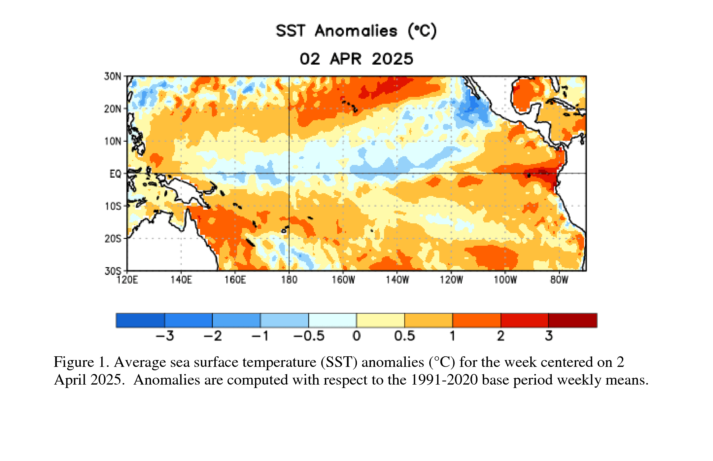
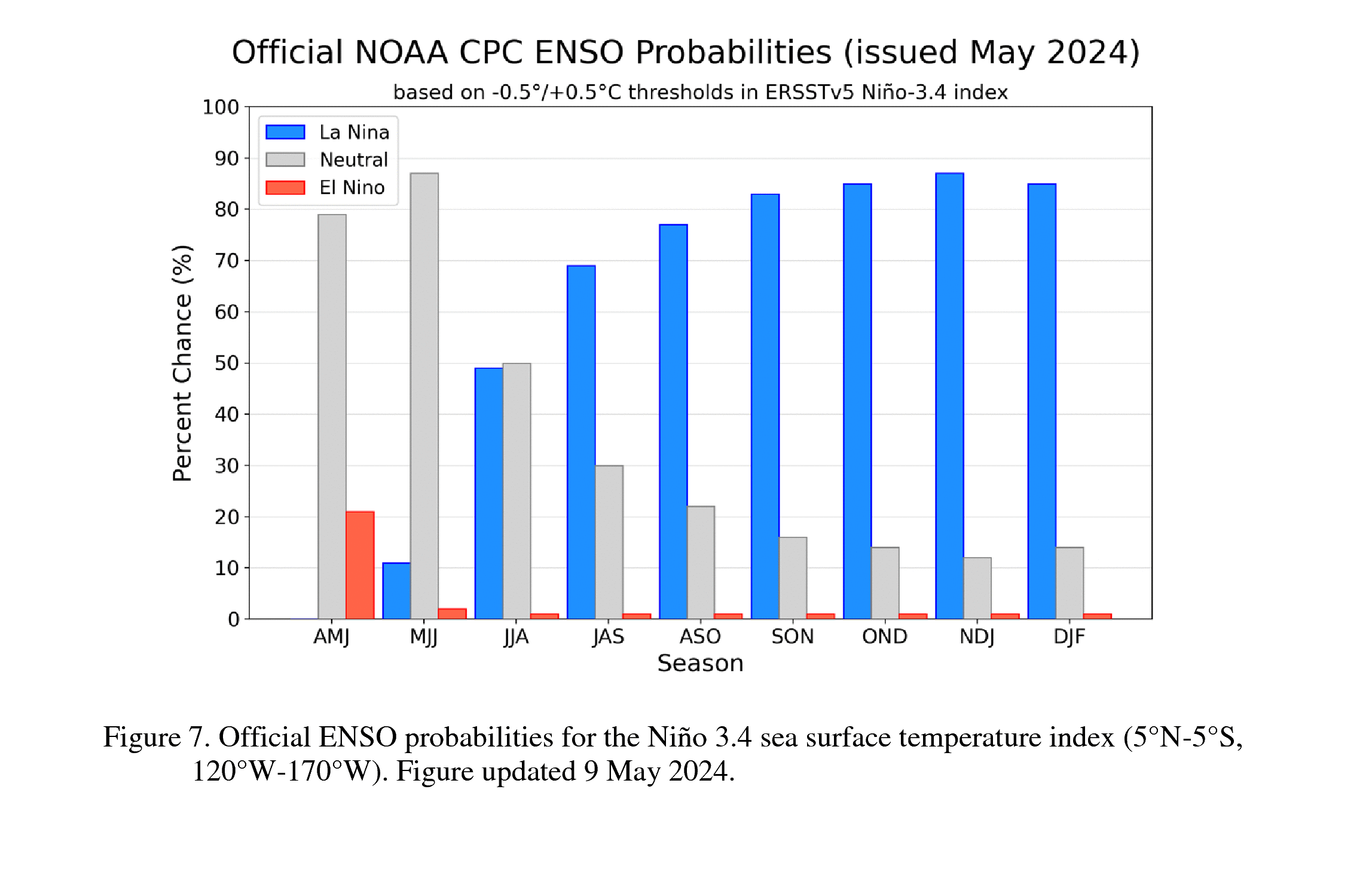
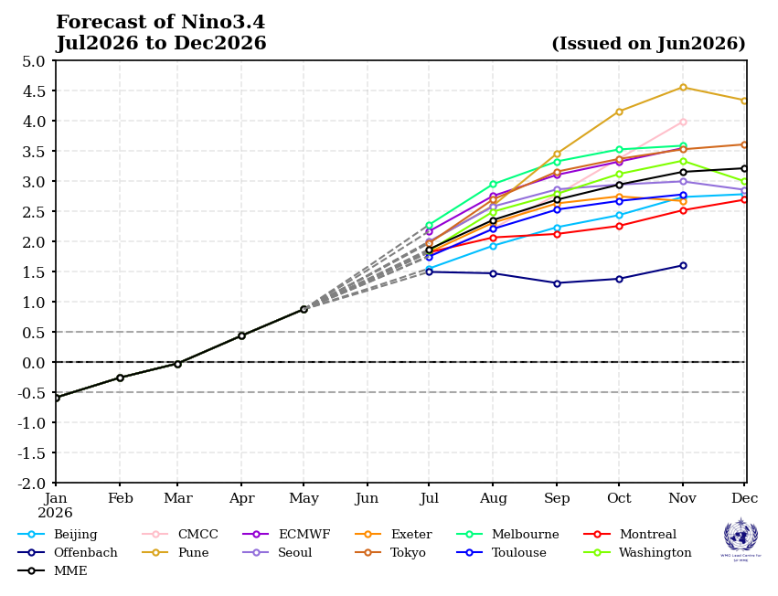
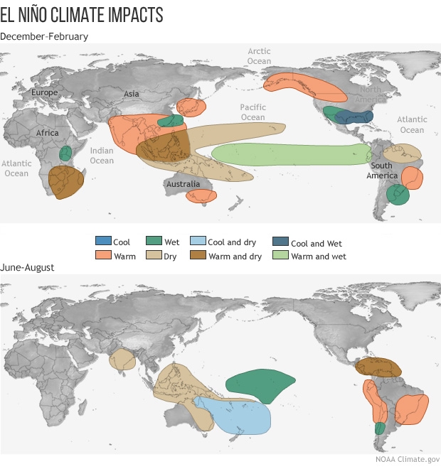
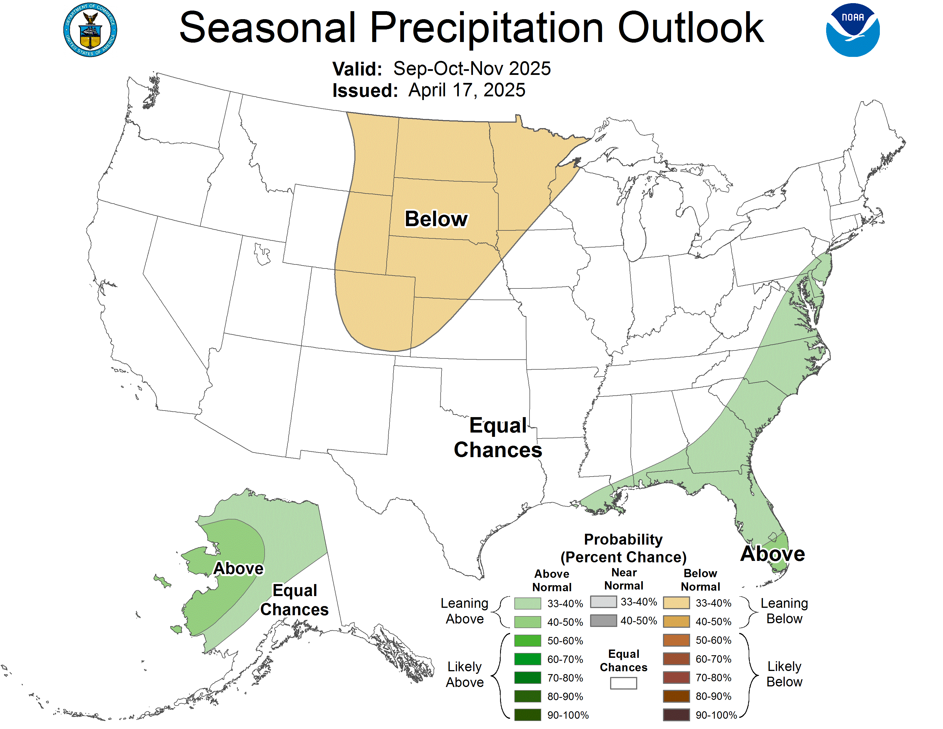
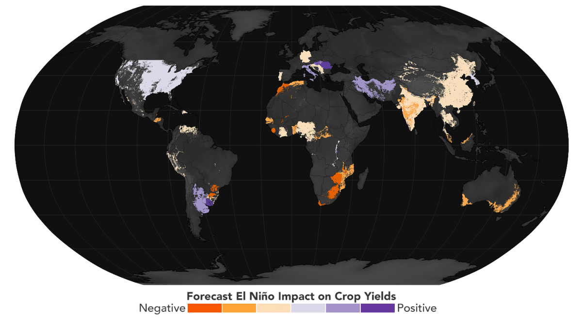
Speaking of El Nino... NOAA has officially issued an El Nino advisory. No surprise given developments over the last several months & clear signals that an El Nino - a warming of the Pacific equatorial waters - would emerge. The question now is how long & how strong. Forecast models are all on board for a potentially record setting El Nino. An El Nino of this intensity generally results in more wind shear across the Atlantic Basin which cuts down on the number of tropical cyclones for the season. Then - late in fall through the winter - an El Nino often helps cause an active subtropical jet stream across the Southern U.S. resulting in higher than average precipitation & sometimes promotes a good deal of severe weather - including tornadoes & flooding - from California to Texas to Florida. Such a strong El Nino will also impact sea life with some forms of sea life found in unusual areas as well as seals & sea lions that seek their food elsewhere because of the warm water. And agriculture & crop yield can be impacted worldwide.