

Jacksonville, Fl. — THE TROPICS:
***** ALWAYS CHECK & RE-CHECK THE LATEST FORECAST & UPDATES! ****
This blog is written & updated daily by *me* - Mike Buresh.
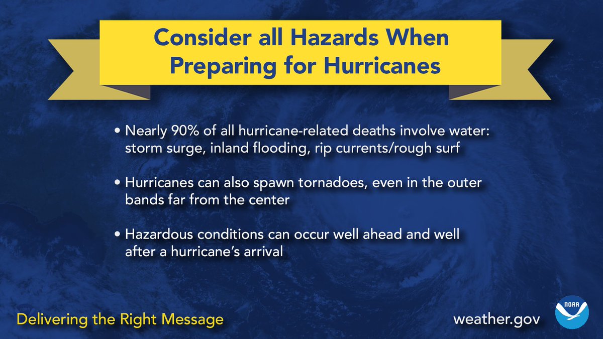
Tropics threats/impacts for Jacksonville/NE Florida/SE Georgia: Few. There will be some peripheral/outer bands moving rather quickly northward - from Isaias - Friday through the weekend that will be capable of very heavy rain, gusty winds & isolated tornadoes, especially Friday through Saturday.
The Atlantic Basin Overview:
The Atlantic hurricane season is June 1st through Nov. 30th. The peak of the season is September 10th.
The average date of the ninth named storm of the season is September 9th (8 so far)... first Atlantic hurricane avg. date is Aug. 11 (none this season so far).
A Storm Surge WARNING: Mouth of the Mississippi River to the Suwannee River
Hurricane WARNING: Ocean Springs, MS to the Bay/Gulf County Line, FLA
Tropical Storm WARNING: Jefferson/Plaquemines Parish Line, LA to west of Ocean Springs, MS... East of Bay/Gulf County Line to Aucilla River, FLA
Storm Surge WATCH: Steinhatchee River to Yankeetown, FL.


The NHC upgraded the area of low pressure over the Western Gulf to tropical depression #9 Tue. afternoon & to tropical depression “Isaias” early Wednesday followed by rapid intensification to a hurricane Wed. evening about 11:30pm - the first hurricane of the Atlantic season. T’storms have been persistent & intense & have consolidated. Prominent banding features are evident on satellite data including poleward outflow channels. All systems were “go” for quick intensification, & that’s exactly what occurred though there are indications of the moderate westerly shear, so the center is generally located in the southwest portion of the heaviest t’storms which has a pretty persistent eye. Intensification will continue through about early Friday then plateau followed by some weakening upon approach to the coast due strong westerly wind shear.
( “Isaias” (repeat from 2020) was memorable 6 years ago for the flooding & tornado outbreak from the Carolina’s to Mid-Atlantic to New England.)
Isaias will turn sharply northward by Thu. night/Friday & accelerate as the tropical cyclone is pulled northward due to a combination of a strengthening upper level ridge of high pressure near/east of Florida & a weak upper level trough of low pressure over Southeast Texas. Forecast landfall - a hurricane - is near Mobile/Pensacola Fri. evening. Impacts - storm surge/heavy rain/wind/flooding/tornadoes - will extend well away from the center & beyond the forecast cone, especially to the northeast & east of Isaias.
Recent model trends have come into pretty good agreement with the AI models more east & the “traditional” physics models a little more west. Confidence is high on a Cat. 1/2 hurricane landfall on the coast of Alabamas or far Florida western Panhandle by early in the evening Friday.
The factors to consider for the strength of Isaias remains widely split, so fairly swift swings intensity are quite possible due to strong shear (a negative) vs. very warm ocean water & increasing influence from an upper level trough (positives):
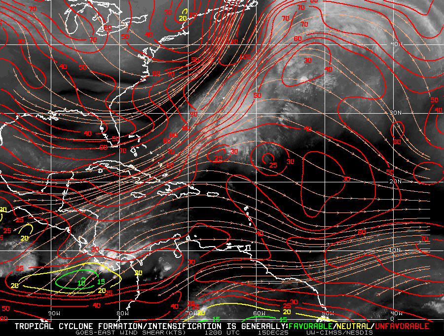
Wind shear remains strong - out of the west/southwest at 25-40+ mph across the Northern Gulf & will likely remain strong right up to landfall. Such shear should cause a lopsided system with the heaviest rain & strongest winds on the north & east side of the system. There is also a fair amount of dry mid & upper level air advancing from the north toward the Northwest Gulf but may not arrive early enough to be a significant detriment until close to landfall at which point the underside (south) of Isaias will be quickly scoured away. This surge of dry air from west to east will enhance the tornado threat Saturday to the east of Isaias’s track.
*But* the Gulf is plenty warm to encourage & sustain tropical development. In fact, there is an eddy of very deep warm ocean water in the path of Isaias that the hurricane will cross through Thu. night. Reasonably strong upper level divergence (air spreading apart/a “chimney” effect) due to the proximity of an upper level trough to the north is also favorable for a strengthening storm. This combination should not be overlooked despite the initially moderate followed by strong shear. In addition, a MJO “pulse” is in a favorable position to enhance tropical activity over the Atlantic Basin, particularly the Gulf.
The upper level troughing over the Lower 48 combined with an expansive subtropical high east of Florida is creating a clear alleyway for Isaias toward the Gulf Coast. Anyone living along - or traveling to - the Gulf Coast &/or Florida should stay up to date on the latest forecasts & - again - impacts will extend far to the east from the center. There is an increasingly significant tornado risk east & north of landfall including much of Florida.
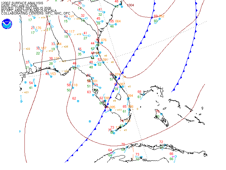
A sidenote: A nearly stationary front extends from the Gulf to Florida to the SW Atlantic. A series of small scale nontropical low pressure areas along the front over - or either side of - Florida will move west to east/northeast. The combination of the front & disturbances/low pressure areas will continue to enhance rainfall across much of the Gulf coast, Florida & Southeast U.S. into the weekend with Isaias bands increasing the flooding threat even more.


South Fl. Water Management District:

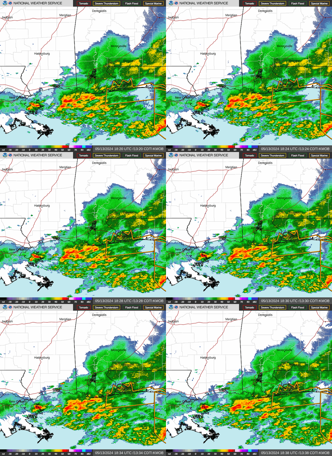
Mobiel/Pensacola N.W.S. radar loop:
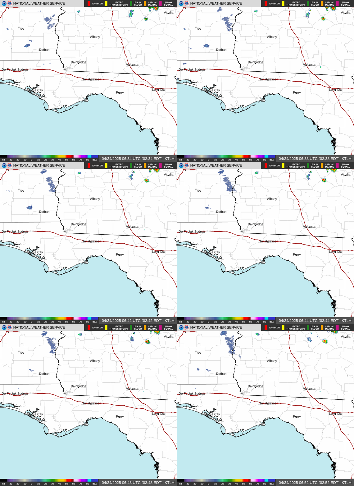
Tallahassee N.W.S. radar loop:
Spaghetti model plots:

Google DM:

Water temps. in the Gulf are at least in the 80s... shear on the order of 25-40+ mph over the Northern Gulf:

A map of deep oceanic heat content (OHC) shows a warm “eddy” right in the path of Isaias & may - unfortunately - give an added boost to the storm’s intensity:

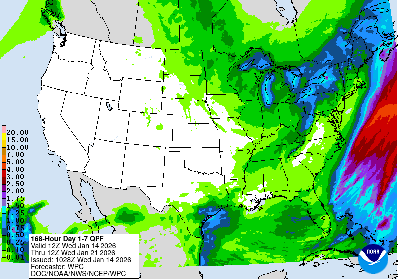
Heavy rain remains almost a certainty along the Gulf to Florida through the next 4-7 days.
Rainfall forecast for next 7 days European & GFS models respectively:


7-day rainfall forecast nationally:
Upper level model (Euro) forecast for Fri. night clearly shows the ridge of high pressure near/east of Florida & the trough of low pressure over Texas:

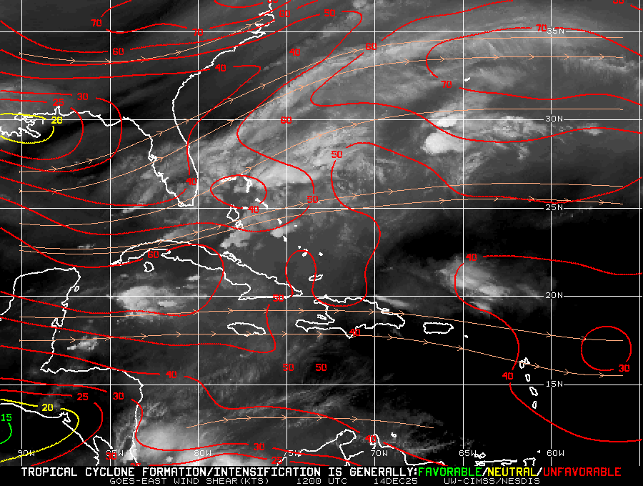
Wider view of shear pattern:
2026 has established a record for the satellite era - since 1966 - for no Atlantic hurricanes on or before Sept. 11. Strong wind shear has dominated much of the Atlantic Basin - especially south of about 20 degrees N. This is a hallmark of an El Nino season - see the “Buresh Blog” for more on our strong Pacific El Nino. There have been two seasons - since the mid 1800s - with zero Atlantic hurricanes - 1907 & 1914. Isaias found a little “sweet spot” over the Western & Central Gulf that couched between the strongest shear over very warm water & with some extra help from a pulse of the MJO, so Oct. 7, 2026 is now the latest date during the satellite era for the first Atlantic hurricane of the season.


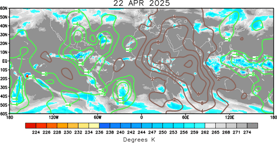
‘Velocity potential anomalies’ below. “Rising” air (green lines) equates with an uptick in overall convection. With rising air, conditions are generally more favorable for tropical development. Where there are brown lines, the air is generally sinking & is often less conducive to tropical cyclones (though not impossible to have development).
The “Buresh Bottom Line”: Always be prepared!.....First Alert Hurricane Preparation Guide... City of Jacksonville Preparedness Guide... Georgia Hurricane Guide.
STAY INFORMED: Get the * FREE * First Alert Weather app
FREE NEWS UPDATES, ALERTS: Action News Jax app for Apple | For Android
WATCH “Preparing for the Storm”
READ the First Alert Hurricane Center “Preparation Guide”
LISTEN “First Alert Weather: Preparing for the Storm”
Federal Alliance for Safe Homes (FLASH) * here *.
REMEMBER WHEN A TROPICAL STORM OR HURRICANE IS APPROACHING: Taping windows is *not* recommended & will not keep glass from breaking. Instead close curtains & blinds.
Realize the forecast cone (”cone of uncertainty”) is the average forecast error over a given time - out to 6 days - & *does not* indicate the width of the storm &/or where damage might occur.
The map below shows the *average* time for a tropical wave coming off Africa to travel west & northwest. Only about 1 in 5 tropical waves - on average - become a tropical cyclone of some sort (depression/storm/hurricane):



Water vapor loop (dark blue/yellow is dry mid & upper level air):

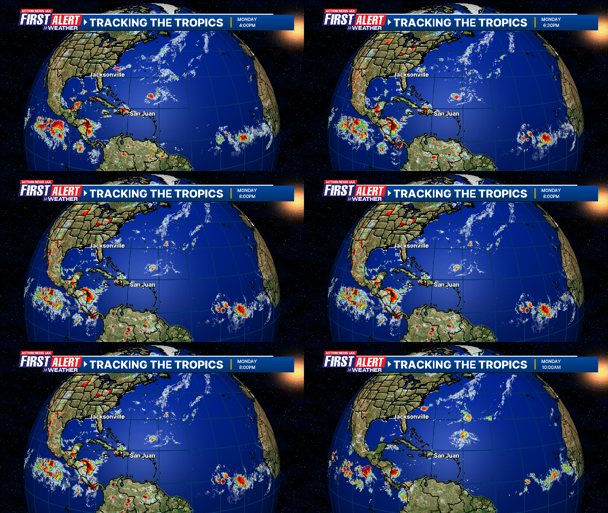
October Atlantic tropical cyclone origins:

Averages below based on climatology for the Atlantic Basin for October:

Wind shear (red - strong shear; green - low shear). Shear is typically strong to start the hurricane season:

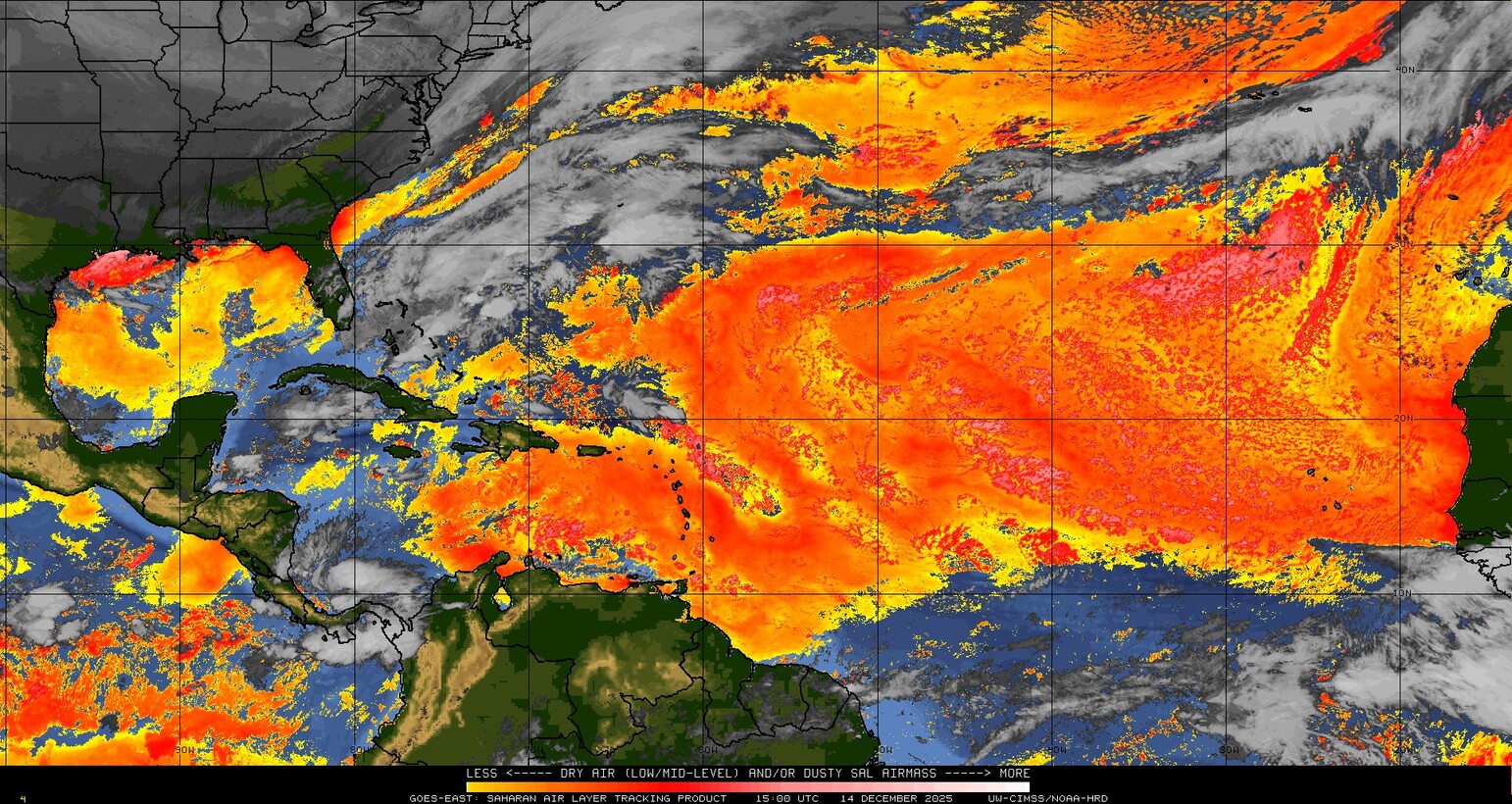
Saharan dust spreads west each year from Africa driven by the prevailing winds (from east to west over the Atlantic). Dry air = yellow/orange/red/pink. Widespread dust is indicative of dry air that *can* interfere with the development of tropical cyclones. However, sometimes “wanna’ be” waves will just wait until they get to the other side of - or away from - the dust plume then try to develop if other conditions are favorable (we saw this with Beryl & Debby last year). It’s my personal opinion that there is way too much “hoopla” about the presence of Saharan dust & how it relates to tropical cyclones. In any case, the peak of Saharan dust typically is in June & July, & we are indeed seeing a large “blobs” of Saharan dust over the Central & Eastern Atlantic that’s thinning with westward extent but enough of it to make for hazy skies across the Caribbean & - at times - across parts of Florida.
2026 names..... “Josephine” is the next name on the Atlantic list (names are picked at random by the World Meteorological Organization... repeat every 6 years). Historic storms are retired [Florence & Michael in ’18... Dorian in ’19 (the last time this year’s list was used) ... Laura, Eta & Iota in ‘20 ... Ida in ‘21 ... Fiona & Ian in ‘22... no names were retired in ‘23 for the first time since 2014... Beryl, Helene & Milton in 2024 & Melissa in 2025). The WMO decided - beginning in 2021 - that the Greek alphabet will be no longer used & instead there will be a supplemental list of names if the first list is exhausted (has only happened three times - 2005, 2020 & 2021). The naming of tropical cyclones began on a consistent basis in 1953. More on the history of naming tropical cyclones * here *.


Hurricane season climatology:

East Atlantic:


Mid & upper level wind shear (enemy of tropical cyclones) analysis (CIMMS). The red lines indicate strong shear - typically the “enemy” of tropical systems:
Water vapor imagery (dark blue indicates dry air):

Deep oceanic heat content over the Gulf, Caribbean & tropical Atlantic. Brighter colors = warmer temps.:

Sea surface temps.:

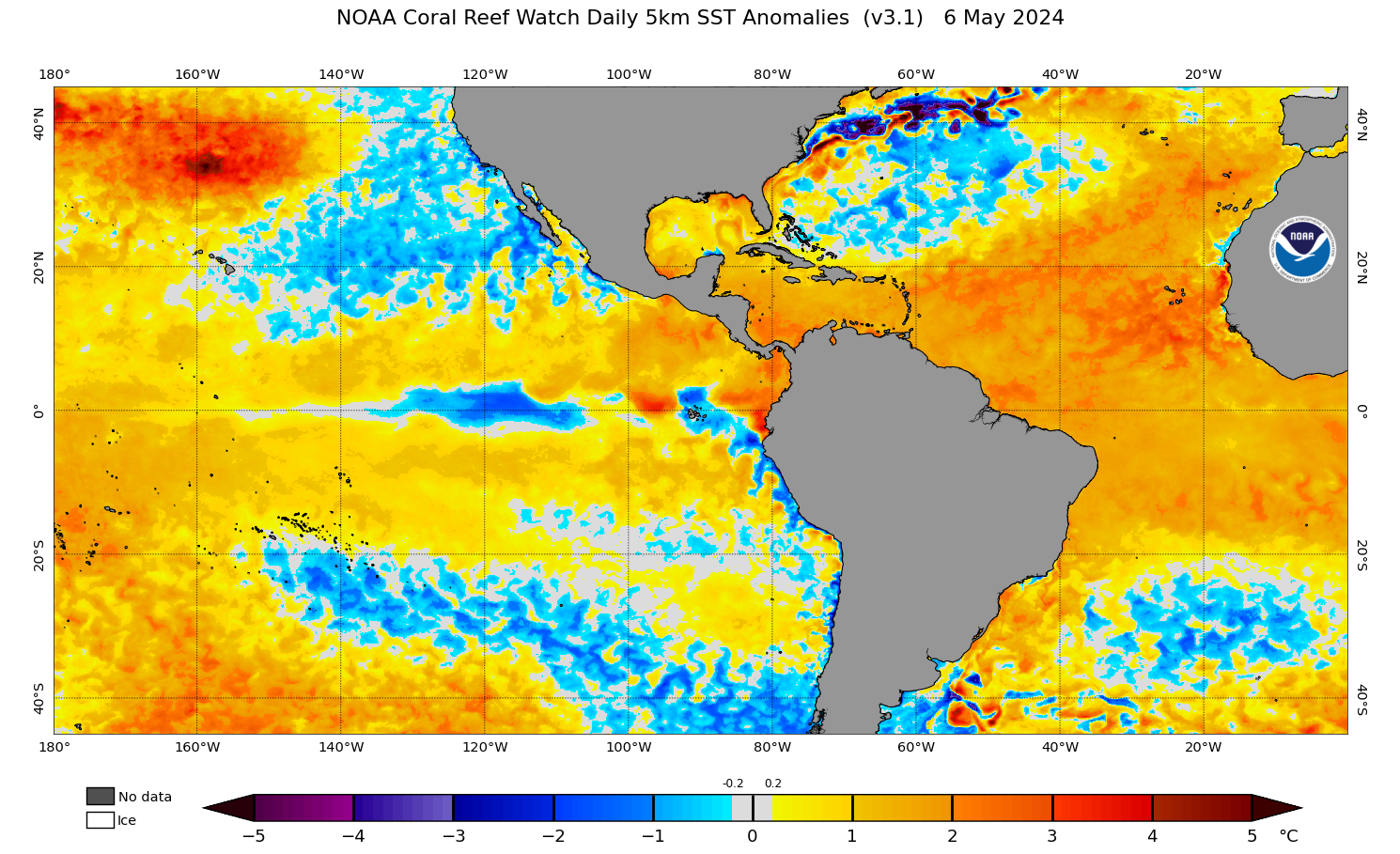
Sea surface temp. anomalies:
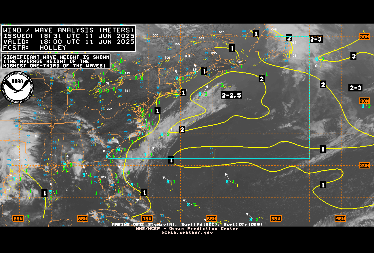
SE U.S. surface map:
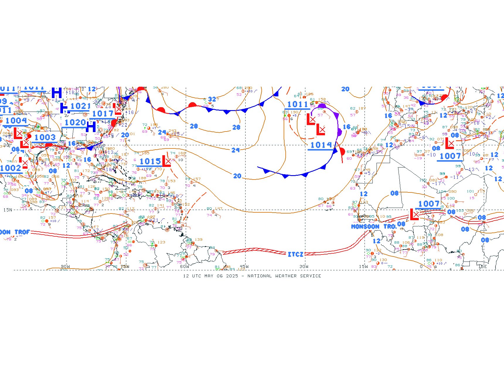
Surface analysis centered on the tropical Atlantic:
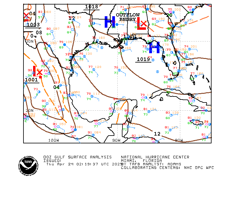
Surface analysis of the Gulf:
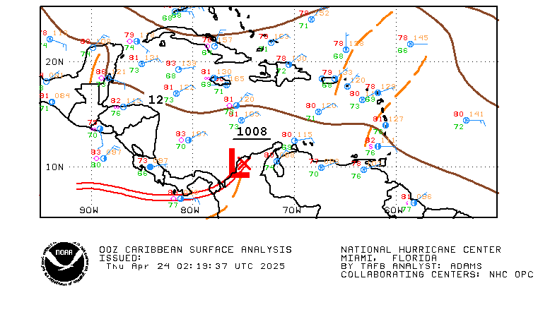
Caribbean:
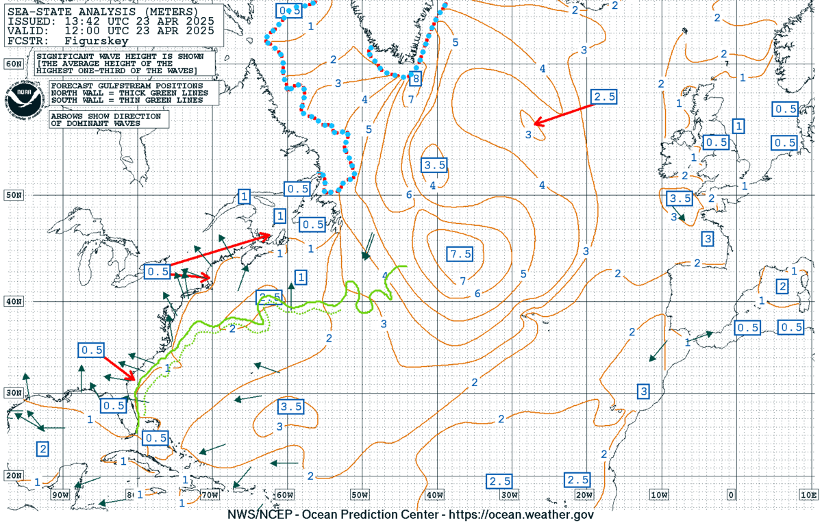
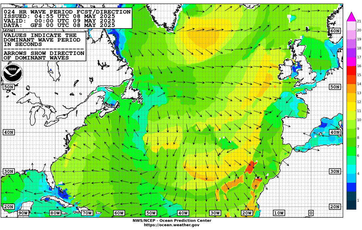
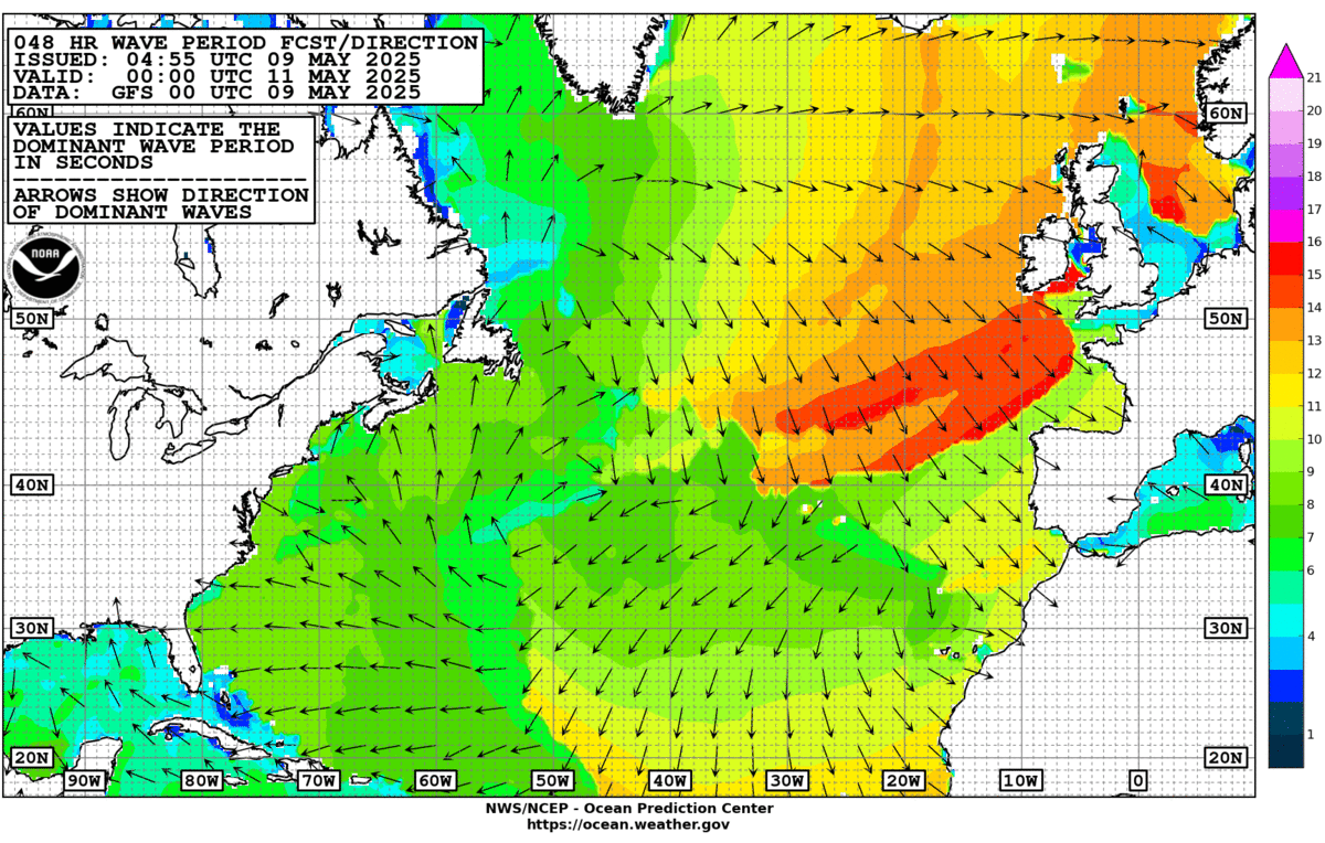
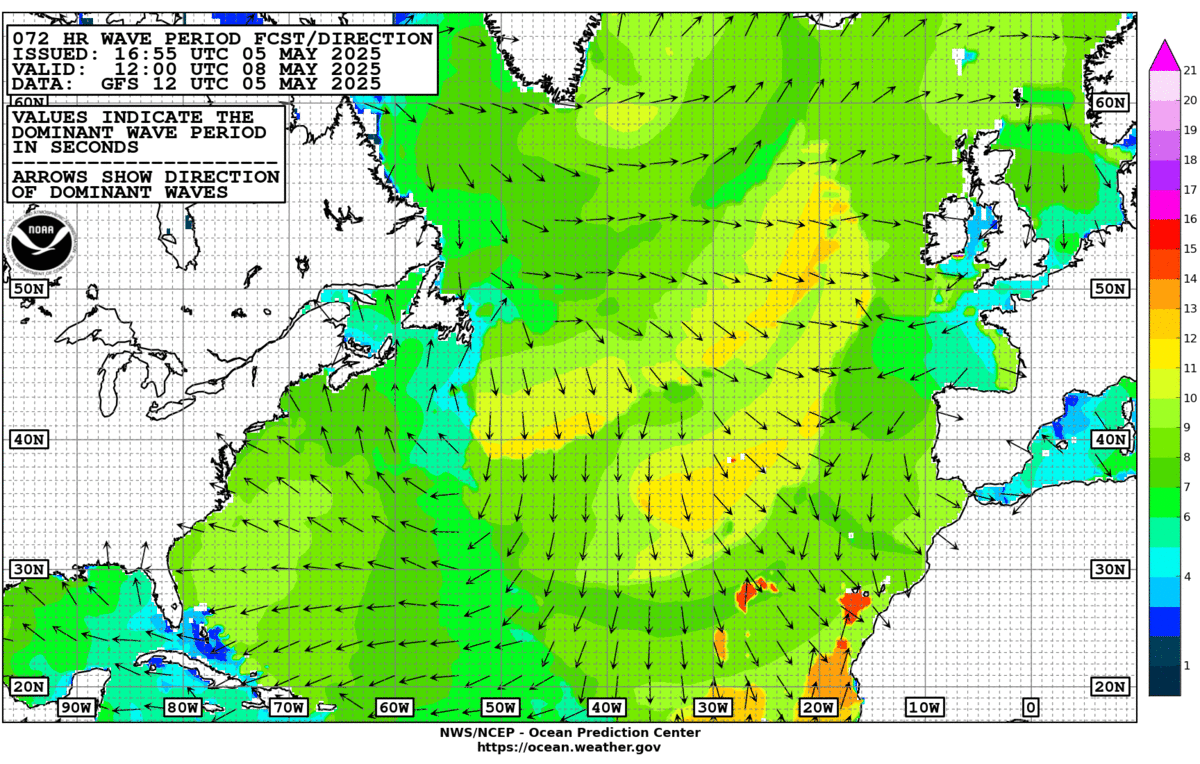
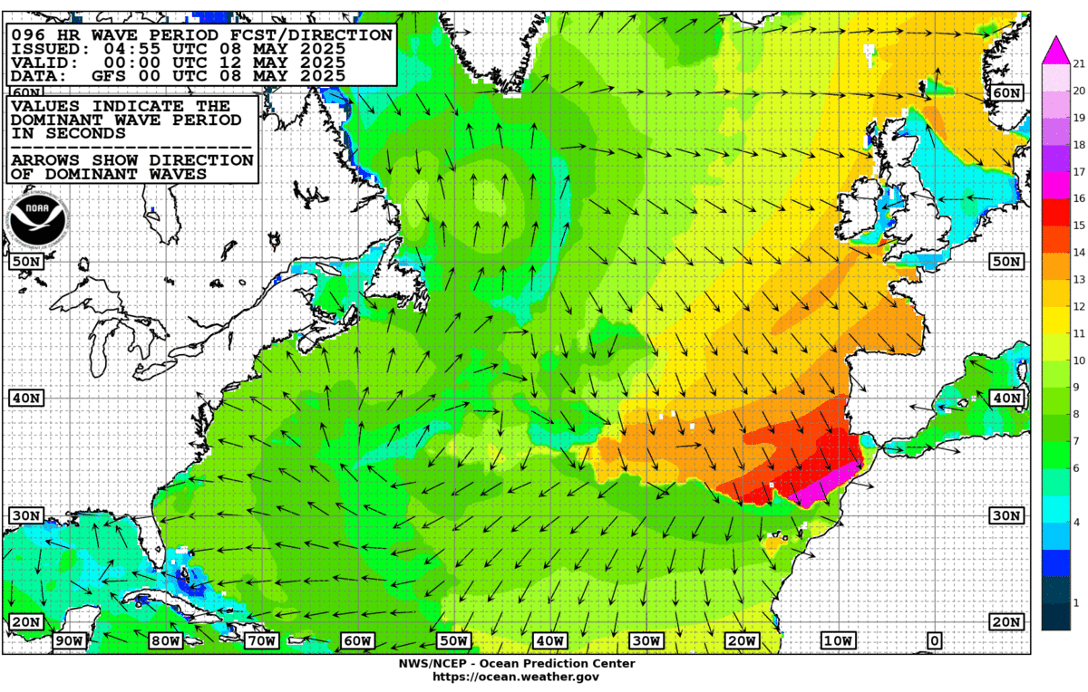
Atlantic Basin wave period forecast for 24, 48, 72 & 96 hours respectively:
East & Central Pacific:
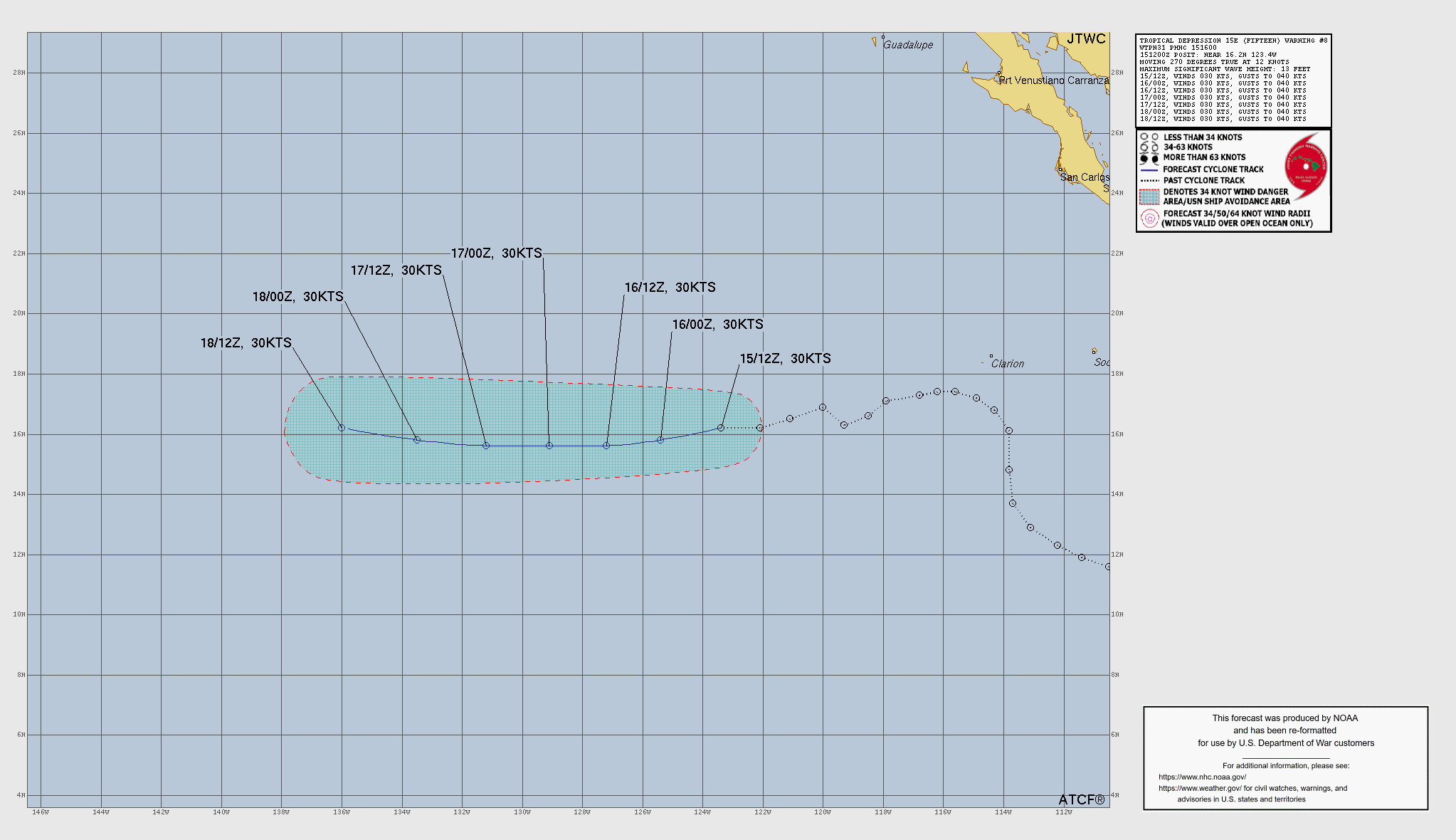
This basin will remain the more active area in ‘26 due to the strong El Nino.
“Rachel”. Weakening but a turn more northward then northeast will bring rough seas & surf & dangerous rip currents to the Southern California coast along with gusty winds & tropical moisture that may lead to heavy rainfall & flooding extending east into Arizona & New Mexico:

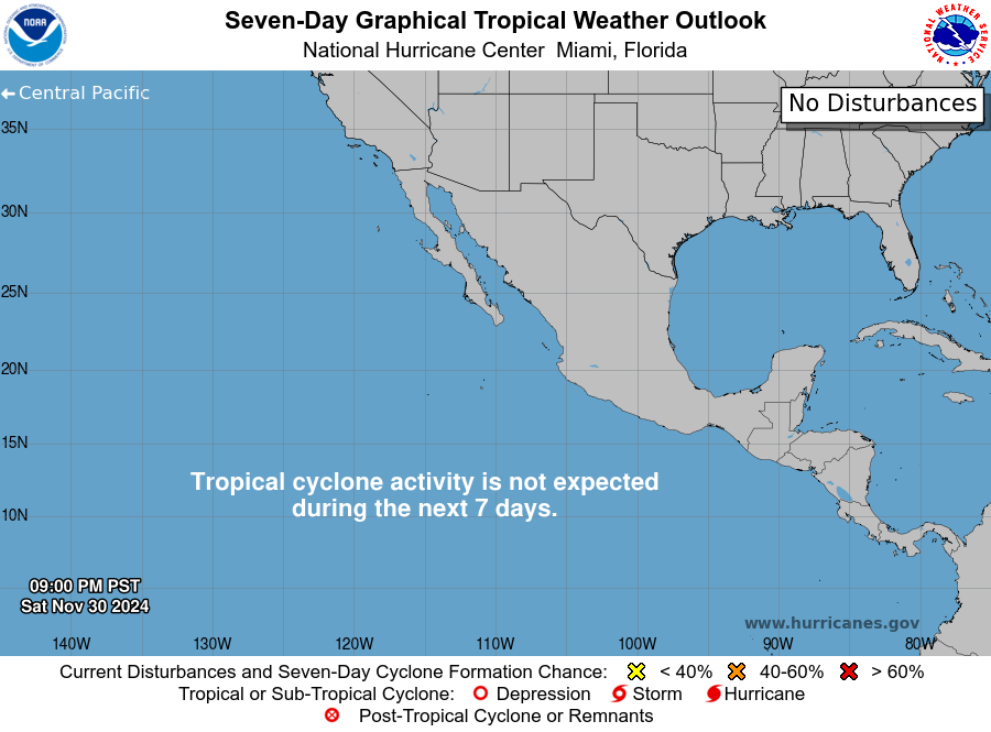
Simon will impact the west coast of Mexico through the weekend into early next week...
A Hurricane WATCH: Manzanillo to Punta Mita
A Tropical Storm WATCH: Punta San Telmo to Manzanillo




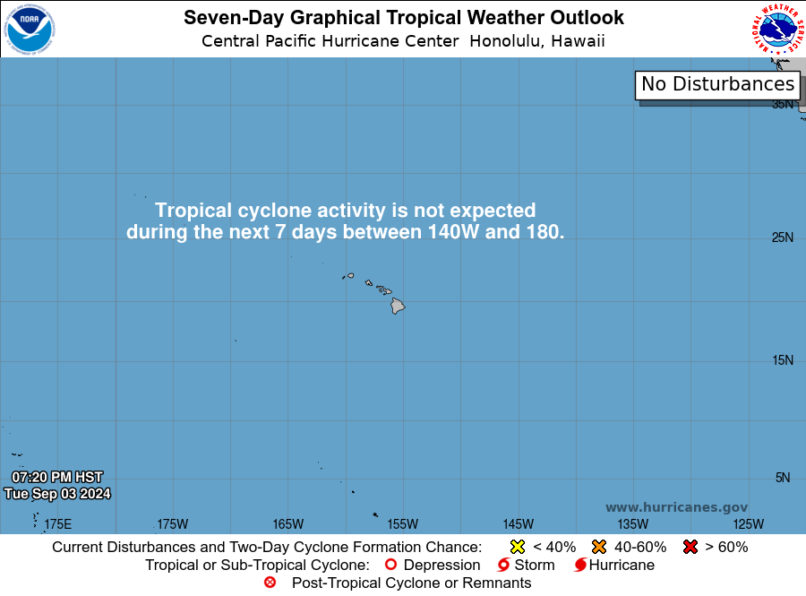
Central Pacific:
Hawaii satellite imagery:

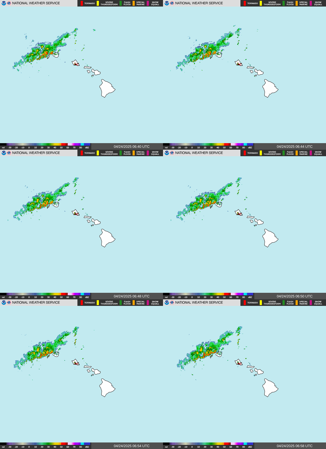
Hawaii radar imagery:
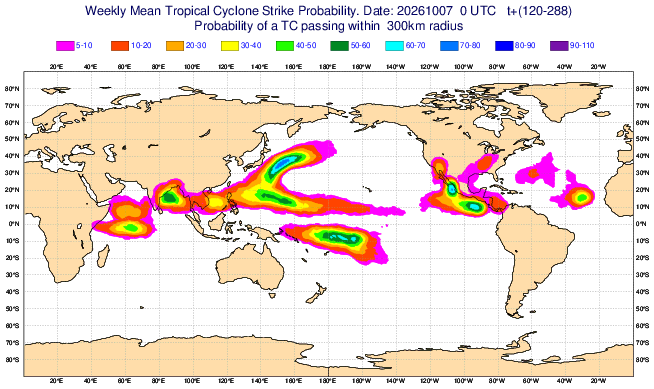
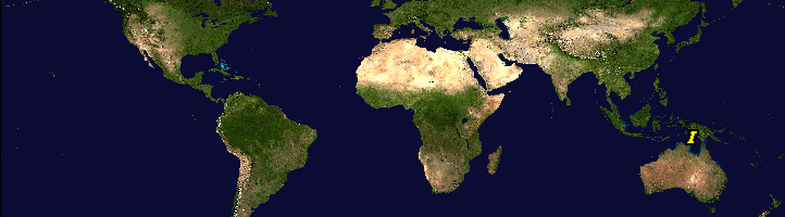
Global tropical activity:
West Pacific:
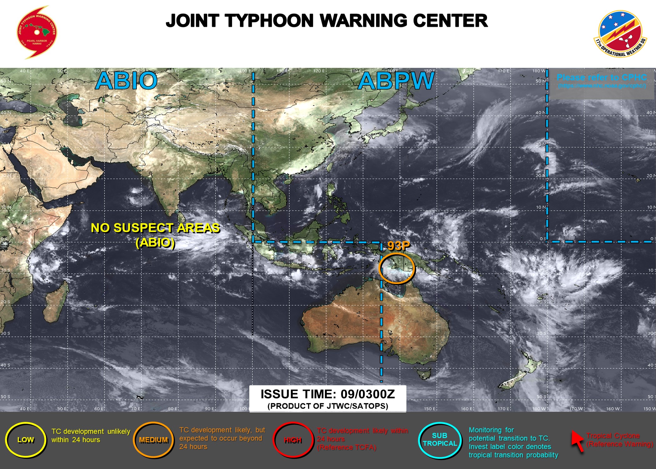
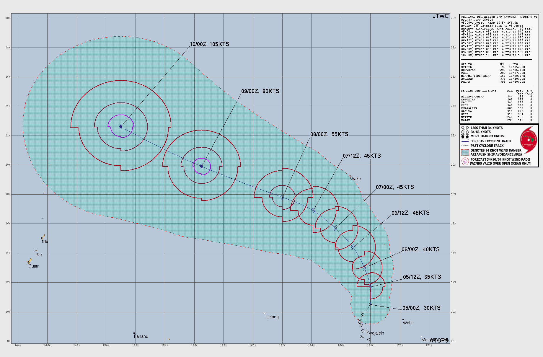
“Nolo” now in the West Pacific & a typhoon (vs. hurricane):
“Koguma”:


Cox Media Group