Sept. 15, 2019 — The "Buresh Bottom Line": Always be prepared!.....First Alert Hurricane Survival Guide... City of Jacksonville Preparedness Guide... Georgia Hurricane Guide.
STAY INFORMED: Get the * FREE * First Alert Weather app
FREE NEWS UPDATES, ALERTS: Action News Jax app for Apple | For Android
WATCH "Surviving the Storm"
READ the First Alert Hurricane Center "Survival Guide"
RECAP "Hurricane Dorian: A True Tropical Beast"
There will be no inland local impacts from Humberto but the combination of Humberto well to the east/southeast & high pressure to the north will result in a broad onshore (out of the east/northeast) flow that will create dangerous conditions at our beaches. So - through Mon. morning:
* a few heavy but brief showers streaming west/southwest off the Atlantic. But there will be plenty of dry hours & the fast movement of the bands/cells will result in total rainfall amounts less than an inch.
* rough seas & surf with a high rip current risk. Best advice is to stay out of the ocean this weekend. Breakers at our beaches will average 5 - 7 feet.
* minor flooding along the coast as well as the St. Johns River & its tributaries, especially at times of high tide with some astronomical boost from the full moon phase.
* breezy to windy with winds out of the east/northeast that will veer to out of the north then northwest Monday - offshore winds for surfers!
Tropical depression #9 was upgraded late Friday afternoon... to tropical storm Humberto late Fri. evening... & to a hurricane Sunday evening - near & north of the Bahamas. The storm continues to organize & strengthen despite the persistence of shear. Banding is increasing & the heavy bands of rain & storms are wrapping around the center with an eye becoming more & more evident.
Overall conditions look favorable for strengthening the next few days & Humberto could become a Cat. 2 or even a Cat. 3 while turning sharply to the east/northeast & - by midweek - accelerating away from the U.S. There look to be some impacts on Bermuda mid to late week.
The positioning & strength of the Bermuda high over the Atlantic plus an incoming upper level trough over the Northeast U.S. is again (like Dorian) playing an important role in the eventual track.
Sunday afternoon - at about 30-35,000 feet - there was a weakening trough will be over New England while the Bermuda high starts to strengthen over the Central Atlantic & the upper low over the Gulf "peels" away to the west. This essentially leaves an alleyway over Fl. giving Humberto an "out" well to the east of Fl.

The Gulf Stream will add some "energy" for strengthening (though some upwelling remains from Dorian). The center of Humberto will stay 300+ miles east & southeast of Jacksonville!


Ensemble model forecasts for Humberto show a nice shift east:

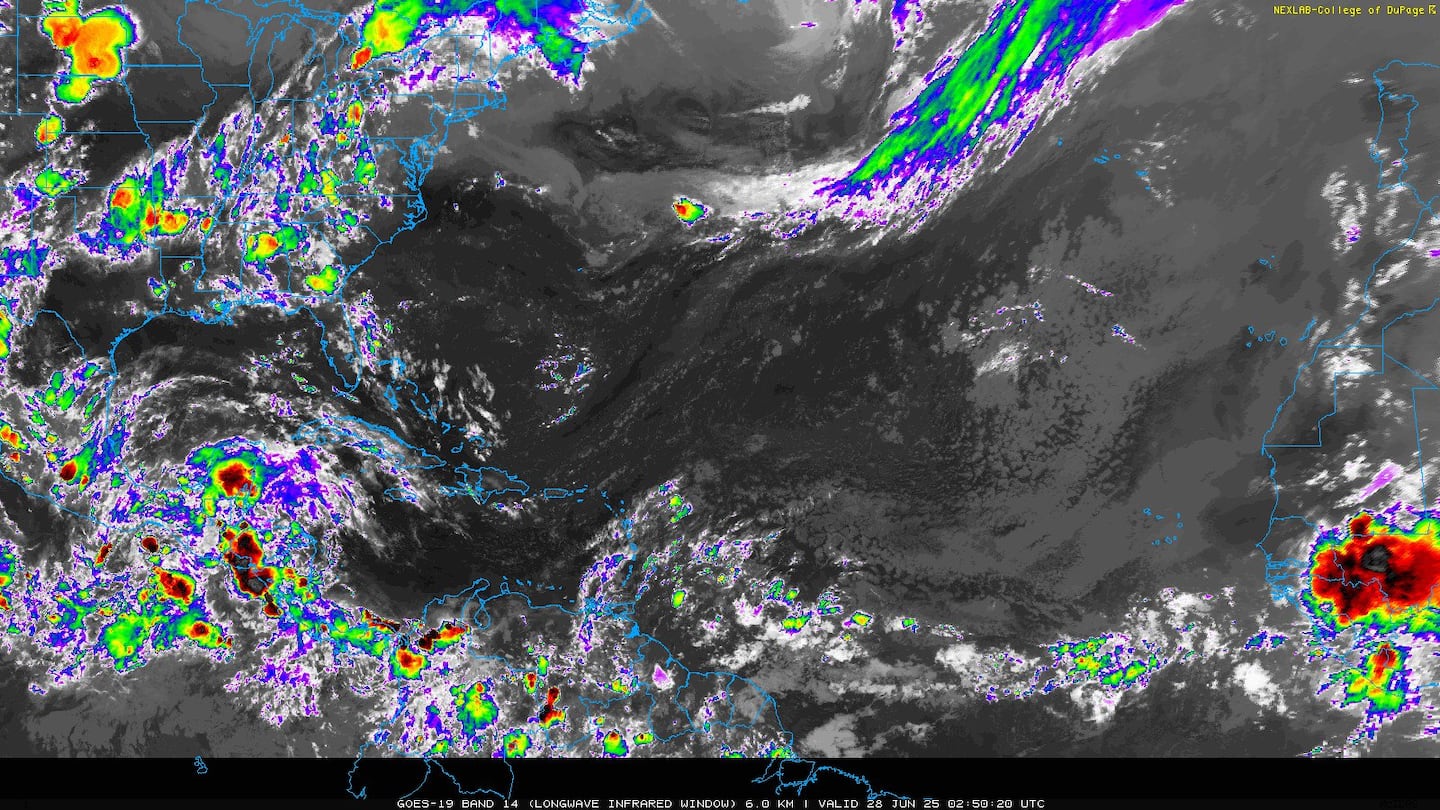
A wide view of the Gulf/SW Atlantic shows Humberto as well as an upper low over the Gulf of Mexico that's trying to develop a surface low through next week over the Western Gulf that will need to be monitored for tropical development. T'storm activity - though disorganized - has been persistent across the Central & Northern Gulf. But time may be running out for significant development over the Gulf as the surface low pressure will move inland over Texas by Tuesday.

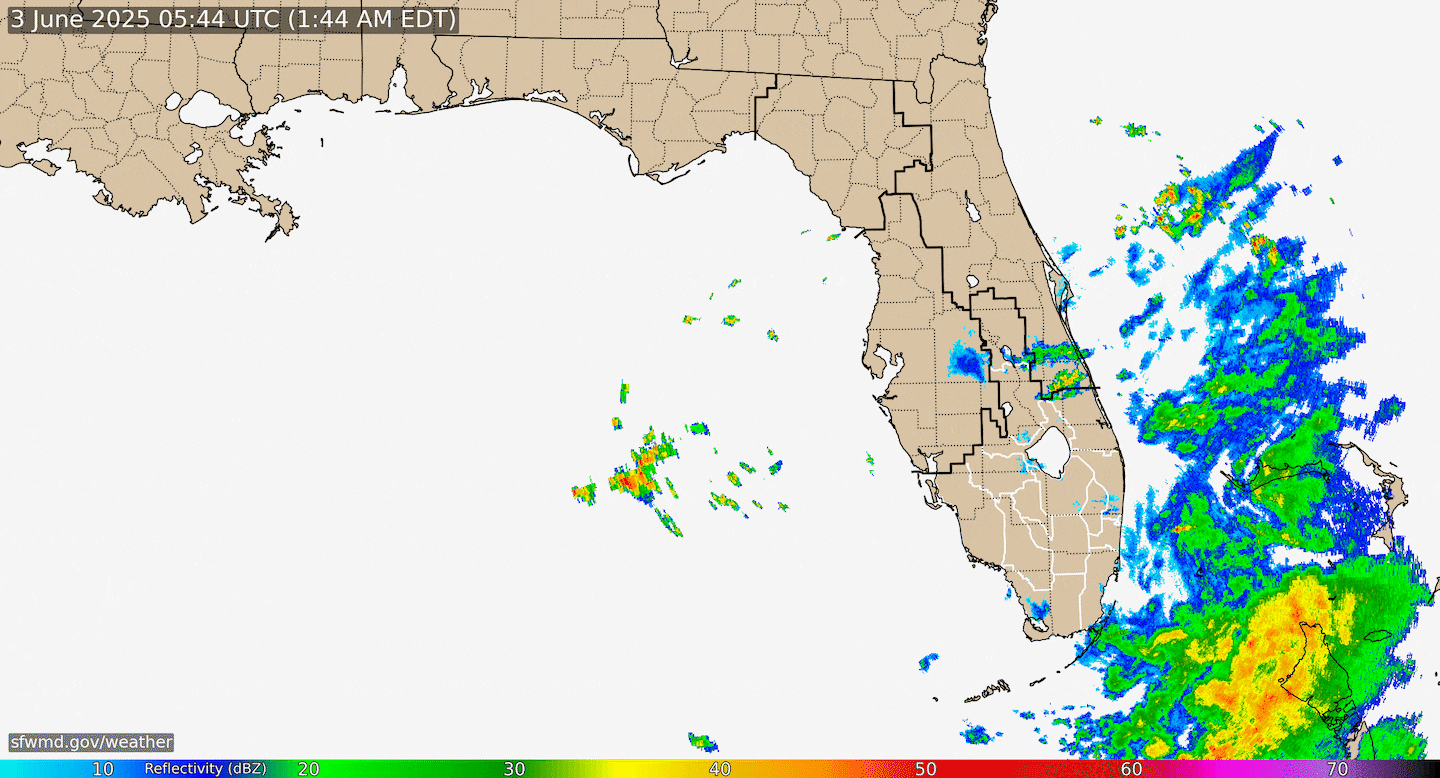
Radar imagery courtesy S. Fl. Water Management District:
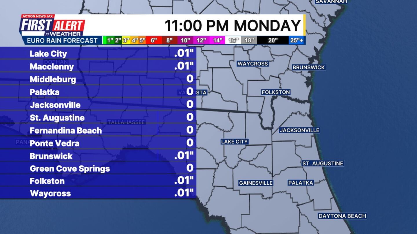
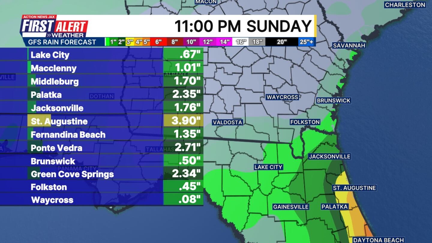
5-day rainfall forecasts from the European & GFS:

Thanks to Dorian, sea surface temps. have dropped noticeably from the Northern Bahamas extending northward for hundreds of miles. Upwelling like this can last for at least a week depending on weather & wind conditions. Otherwise.... sea surface temps. remain generally above avg. over the Central Atlantic & Gulf of Mexico.

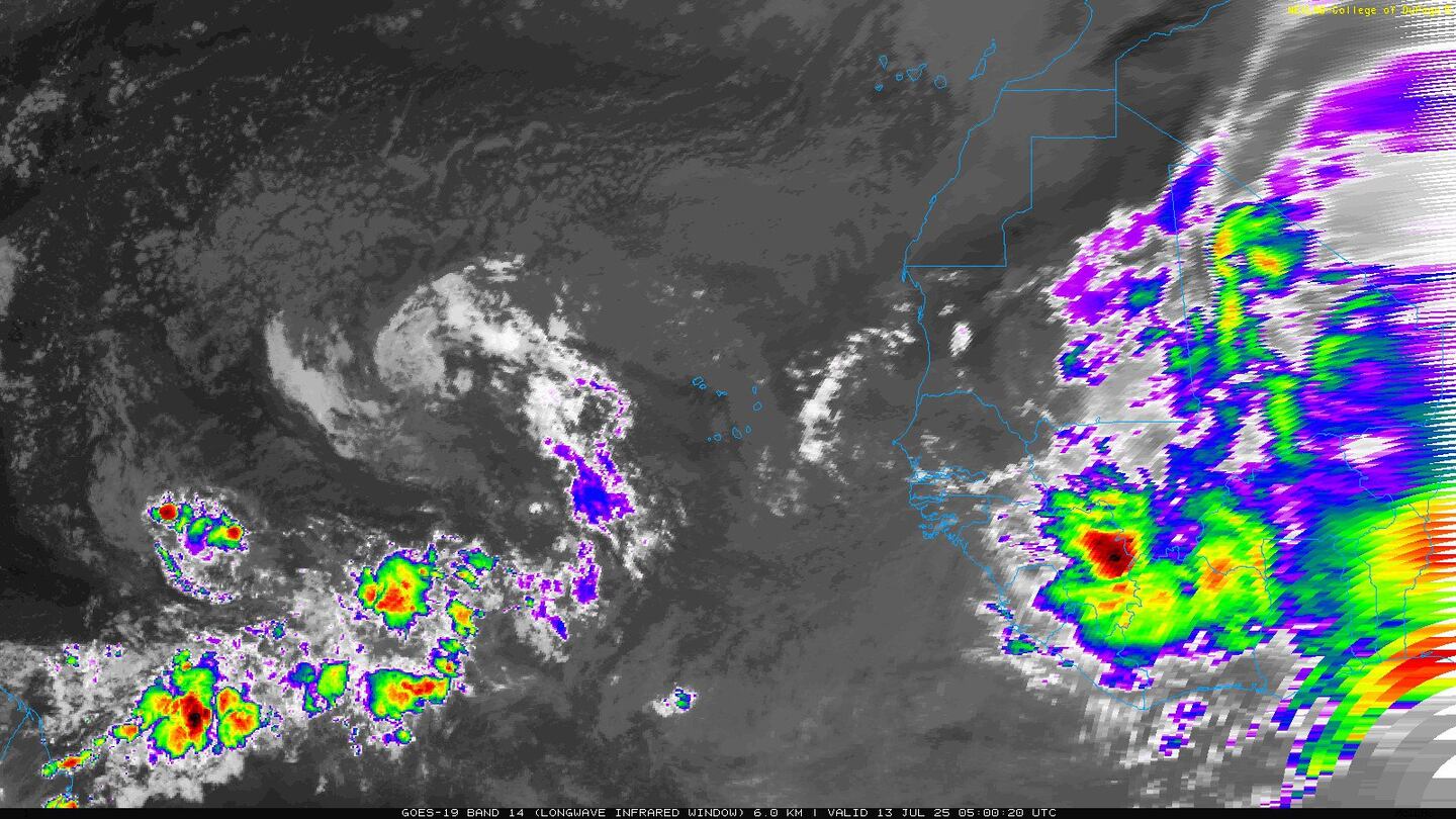
There are a couple of active tropical waves over the Central & East Atlantic with long term potential & track the big question mark. Plenty of time to watch/monitor/track & "cipher". Most of the more reliable global forecast models - European/GFS/UKMET - are bouncing around on development not to mention the location, but the Northeast Caribbean may be faced with another named storm - "Imelda" &/or "Jerry" within the next week or two. Global forecast models are generally showing a turn north in the long range implying no threat to the U.S. from the first wave. BUT it's very early & the steering influences will still undergo some changes leading up to the last 10 days of this month.


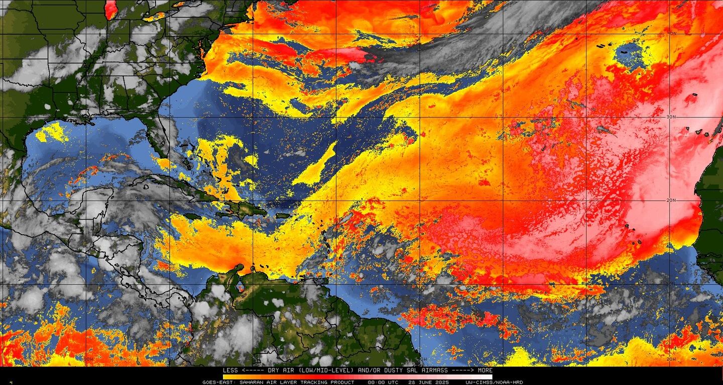
An examination of dust over the Atlantic shows generally less dust over the basin vs. past months which is fairly typical for September & the peak of the hurricane season.
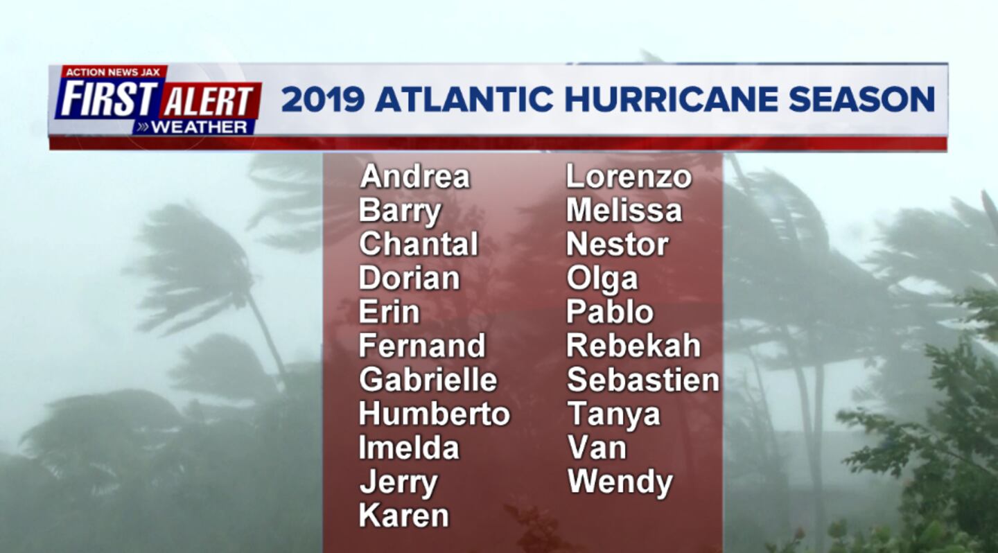
2019 names..... "Imelda" is next on the Atlantic list (names are picked at random... repeat every 6 years... historic storms are retired (Florence & Michael last year) & Dorian is almost certain to be next:
East Atlantic:
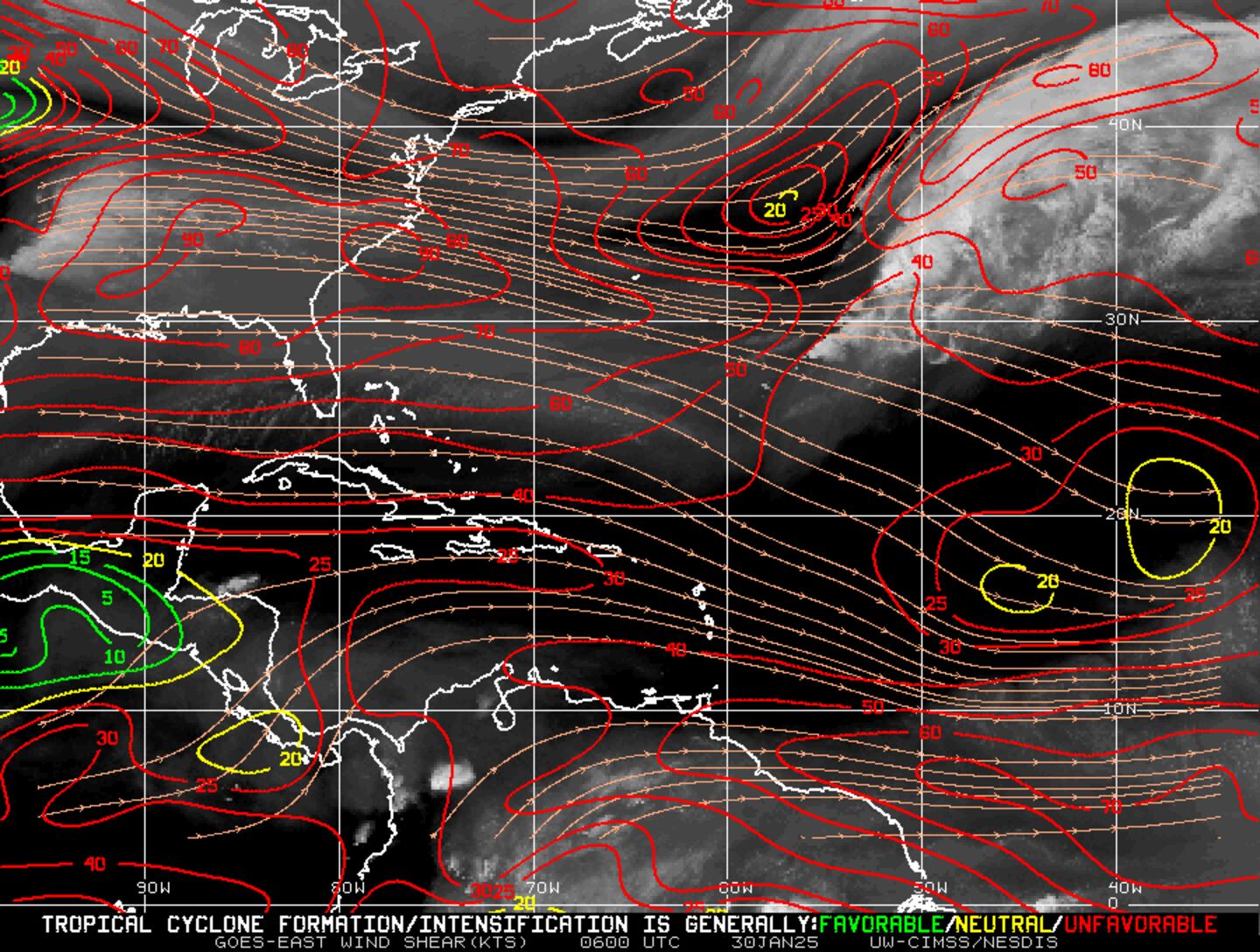
Mid & upper level wind shear (enemy of tropical cyclones) analysis (CIMMS). The red lines indicate strong shear of which there is plenty across the Atlantic at the moment:
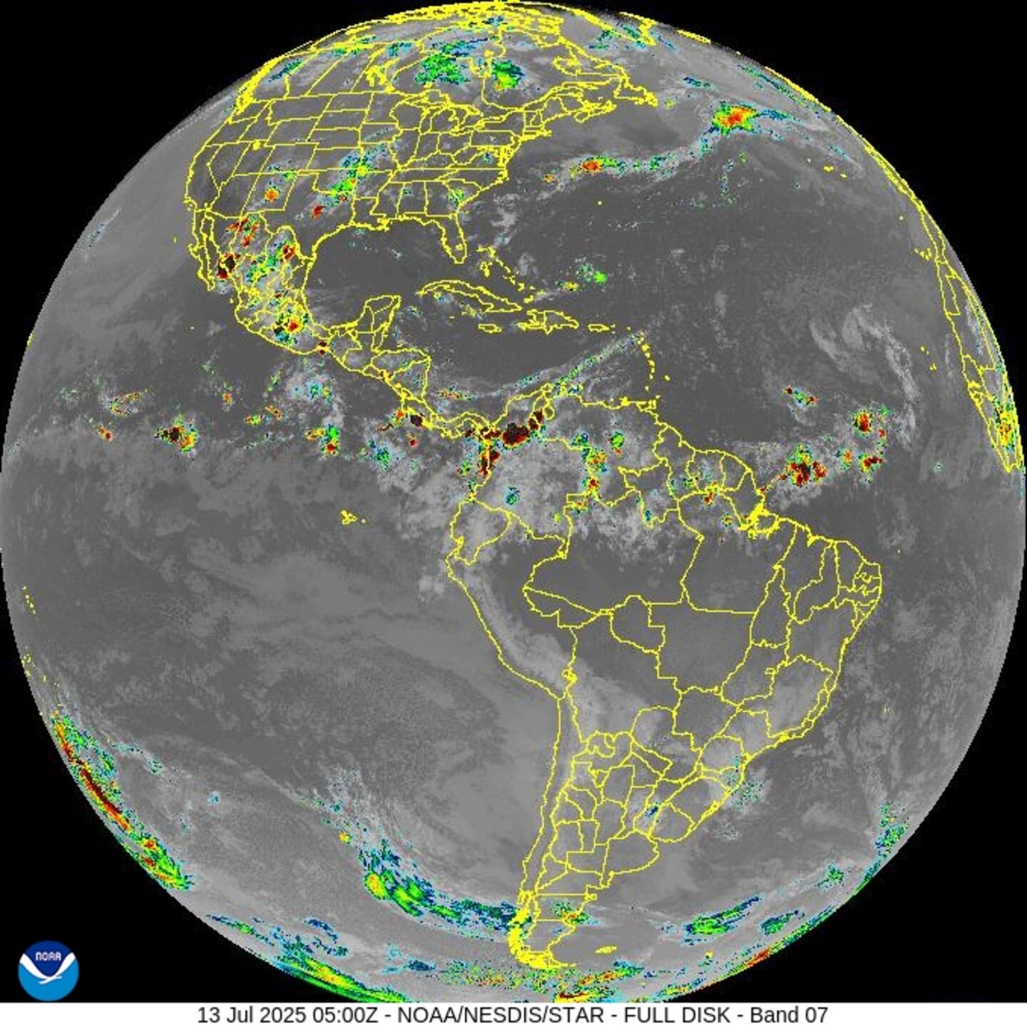
The Atlantic Basin:

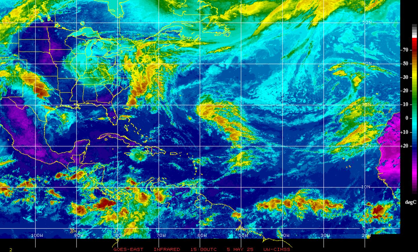
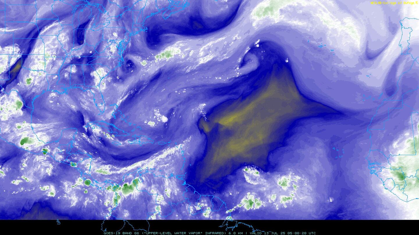
Water vapor imagery (dark blue indicates dry air):
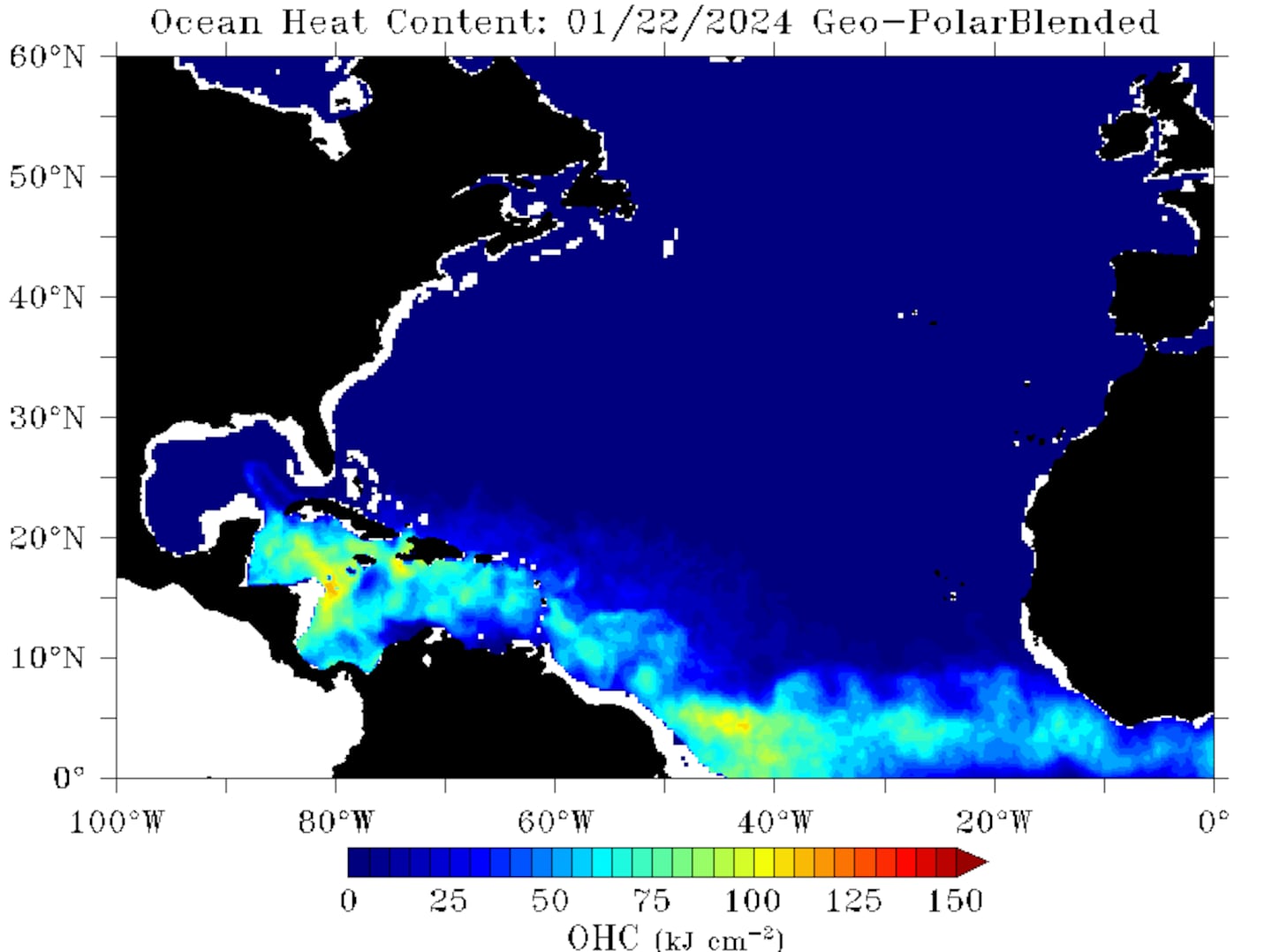
Deep oceanic heat content:
Sea surface temp. anomalies show a warm Gulf of Mexico, Central & Northwest Atlantic while the "Main Development Region" (MDR) remain cooler than avg. Note the upwelling (cooler water) left behind Dorian over the Bahamas & east of Florida:
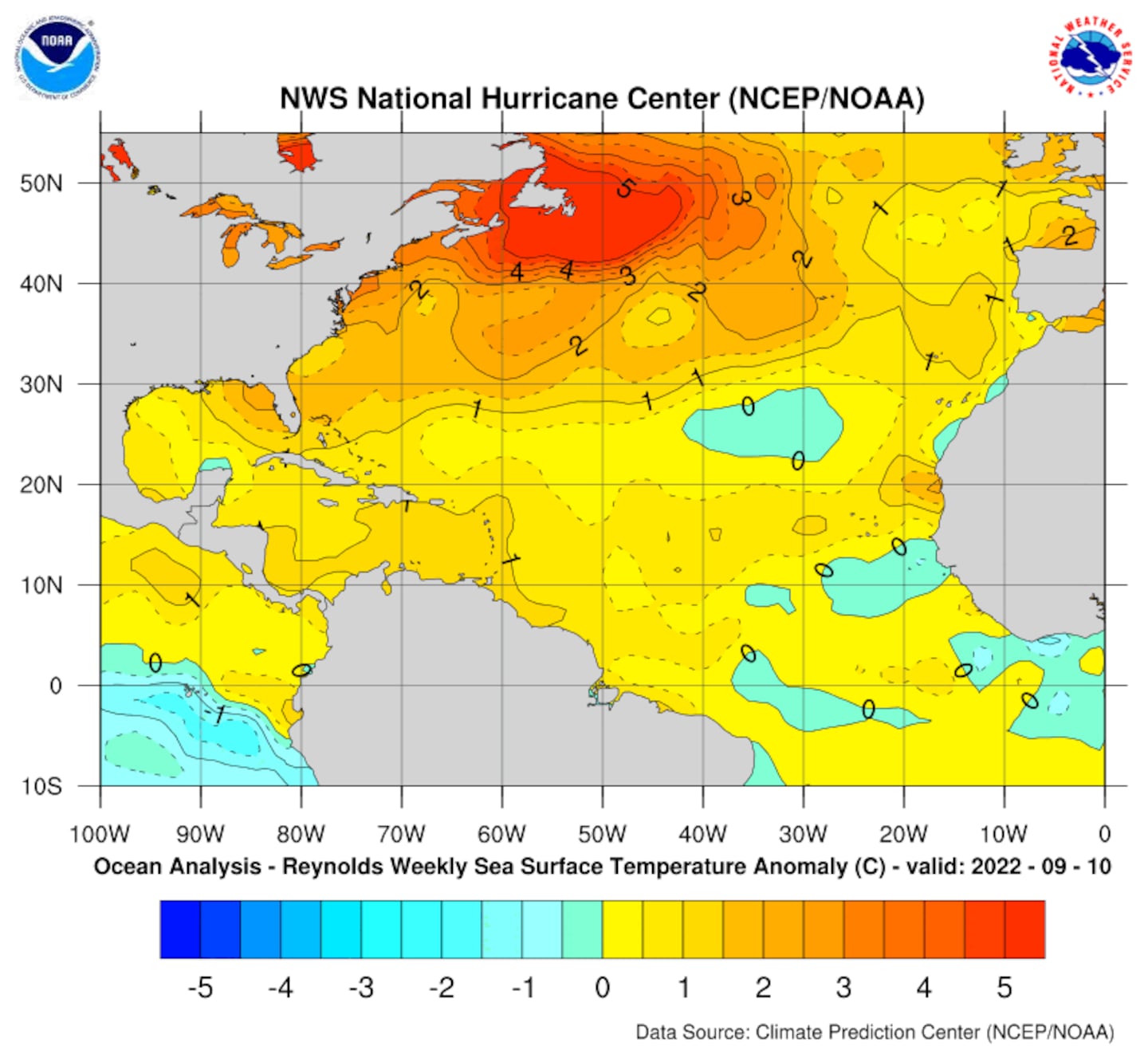
While the MDR is cooler than avg., it's important to realize the water is still warm enough to support tropical systems....

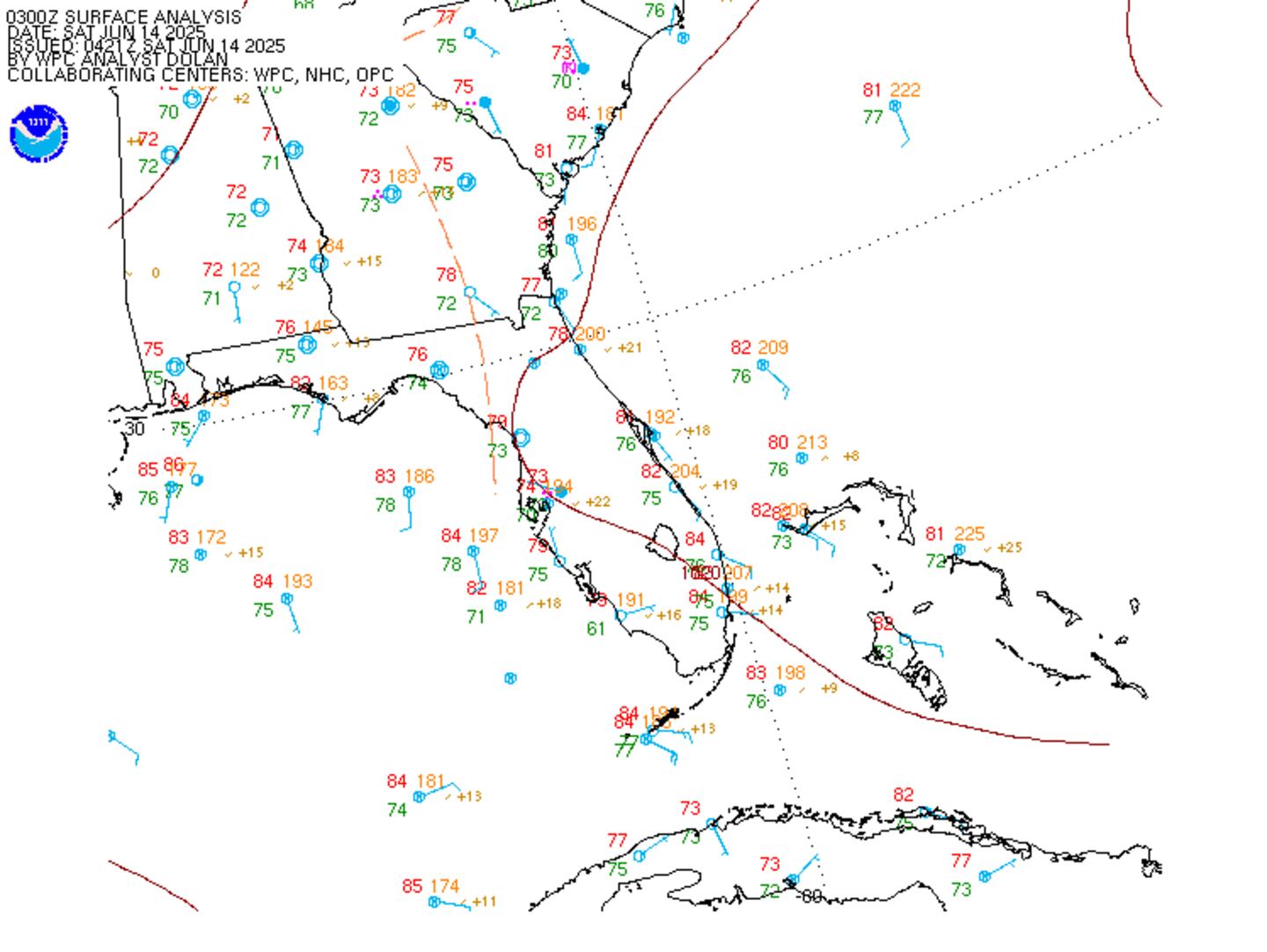
SE U.S. surface map:
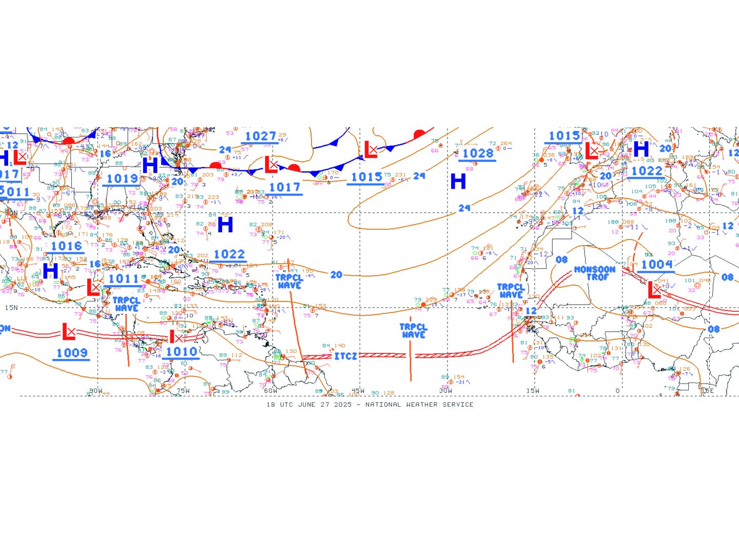
Surface analysis centered on the tropical Atlantic:
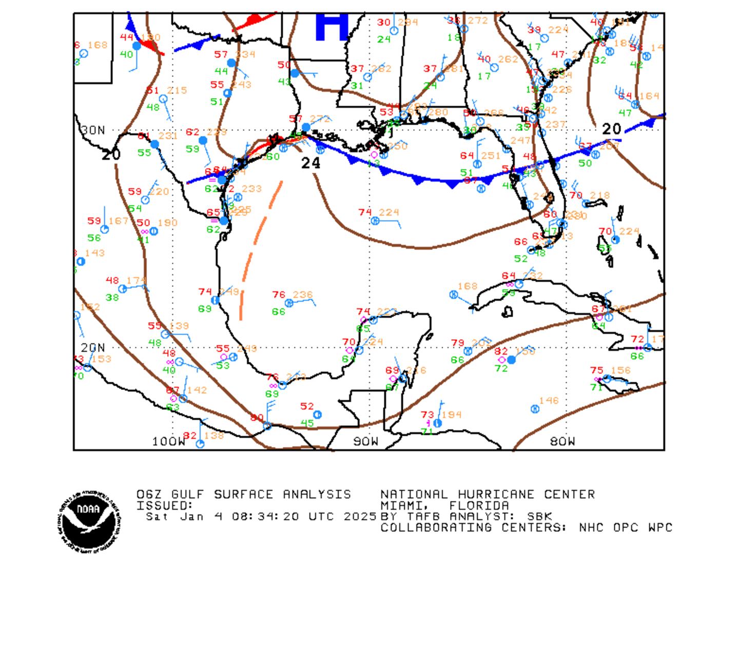
Surface analysis of the Gulf:
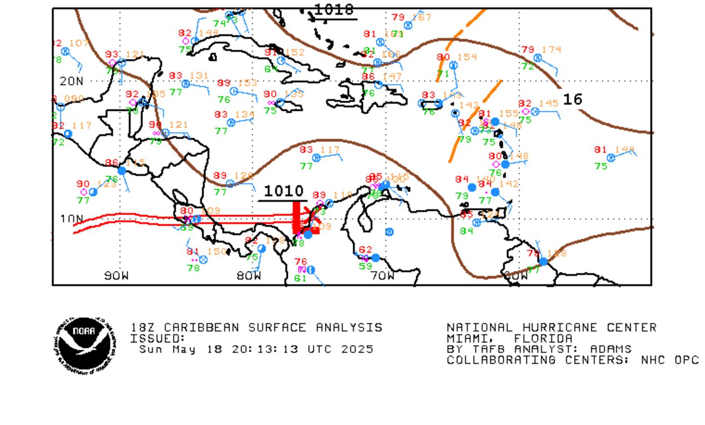
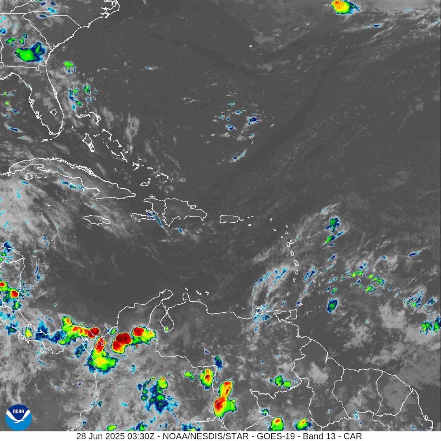
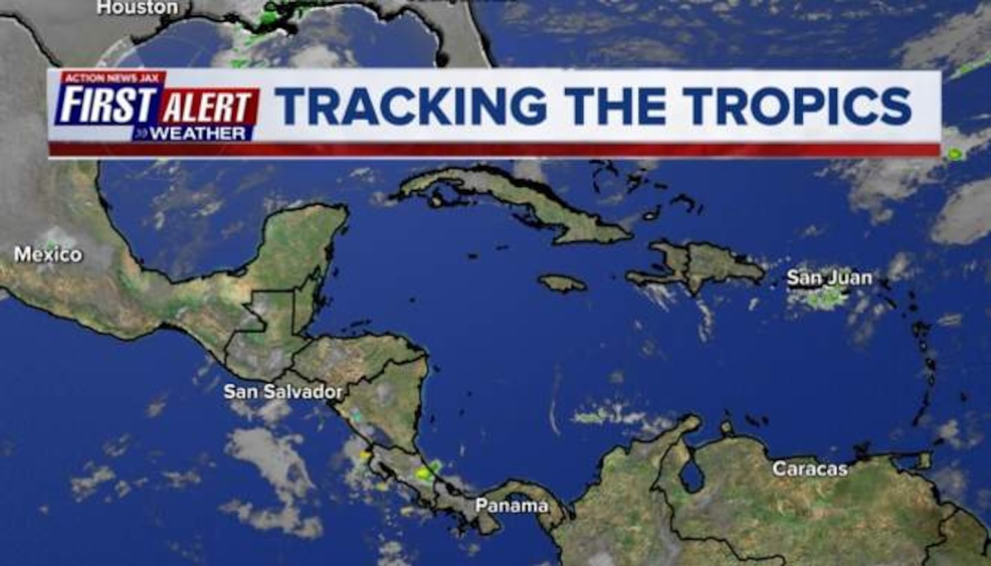
Caribbean: